


The development prospects of the segmented fields in the drone market, such as agriculture and surveying and mapping?
The development prospects of the segmented fields of the drone market, such as agriculture and surveying and mapping
As a product of artificial intelligence technology, drones are bringing unprecedented changes to all walks of life with their unique technical advantages. The application fields of drones are expanding continuously, from entertainment, aerial photography, express logistics, to agriculture, surveying and mapping, environmental protection, energy, military, film and television production, scientific research, and other fields, the application of drones is becoming more and more extensive, and their market potential is also gradually being explored. Especially in the two niche fields of agriculture and surveying and mapping, the development prospects of drones are particularly broad.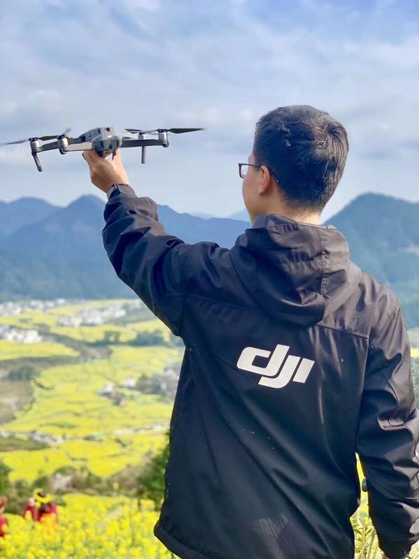
First, the field of agriculture
Agriculture is the pioneer of drone applications. In the field of agriculture, the application of drones is mainly concentrated in agricultural spraying, crop monitoring, farmland management, and other aspects. With the continuous advancement of drone technology, the application fields of agricultural drones are expanding. The application of drones in spraying pesticides, fertilizing, and weeding can achieve precise operations, avoiding the unevenness and waste of traditional spraying. The farmland monitoring function of drones can monitor the growth status of crops in real-time, allowing farmers to grasp the growth status of crops in real-time through the images and data captured by drones, and take timely measures to improve the yield and quality of crops. In addition, drones can also be used for farmland management, such as farmland irrigation, soil testing, pest monitoring, and other functions, which greatly improve the efficiency and benefit of agricultural production. According to predictions, the market of agricultural drones will continue to grow in the next few years, with the global market size of agricultural drones expected to reach 1.3 billion US dollars by 2025, with a compound annual growth rate of over 20%.
Second, the field of surveying and mapping
The application of drones in the field of surveying and mapping is mainly concentrated in topographic surveying, geological exploration, forest resource monitoring, urban planning, and other aspects. Drones have the irreplaceable advantages in these fields due to their high-precision positioning and high-resolution image acquisition capabilities. Drones can quickly and efficiently obtain large-area topographic data, providing important basis for urban planning, land management, disaster warning, and other areas. In addition, drones can also be used for geological exploration, where high-precision sensors carried by drones can obtain geological data in real-time, providing important support for geological exploration. Drones can also be used for forest resource monitoring, where high-definition images captured by drones can monitor the growth status of forests in real-time, providing important basis for forest resource management. According to predictions, the market of surveying and mapping drones will continue to grow in the next few years, with the global market size of surveying and mapping drones expected to reach 1 billion US dollars by 2025, with a compound annual growth rate of over 25%.
The wide application of drones has brought unprecedented development opportunities to the fields of agriculture and surveying and mapping. With the continuous advancement of technology, the application fields of drones will be more extensive, and their market potential will also be further released. At the same time, with the maturity of drone technology and the reduction of costs, the popularity of drones will accelerate, which will promote the rapid development of industries such as agriculture and surveying and mapping. In the future, drones will be deeply integrated with technologies such as artificial intelligence, big data, and the Internet of Things, providing strong support for the digital and intelligent transformation of industries such as agriculture and surveying and mapping.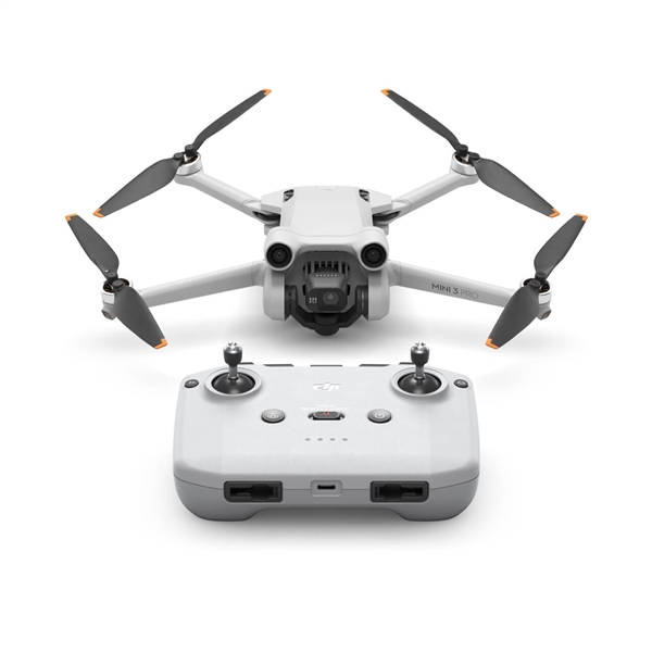
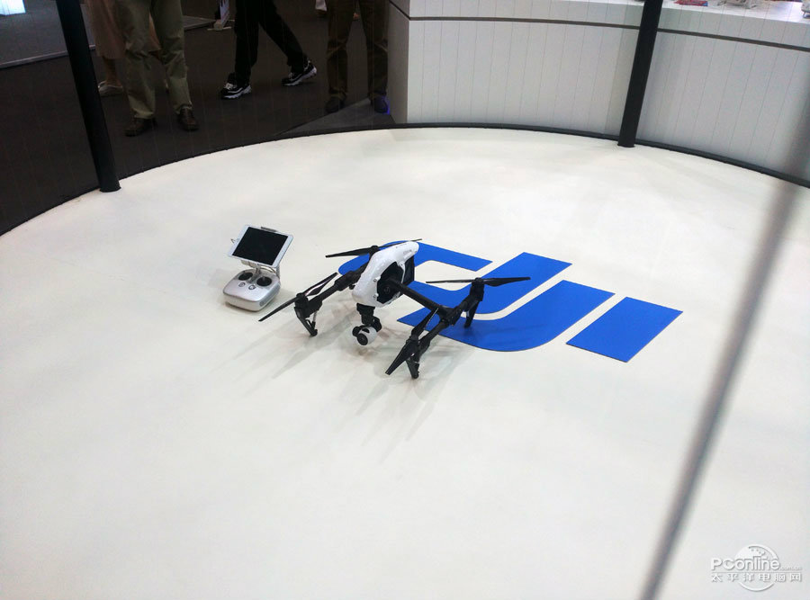 What are the teaching contents to cultivate emergency response capabilities in drone training?
 What are the key technical points of weapon carriage and firing for drones in military strike missions?
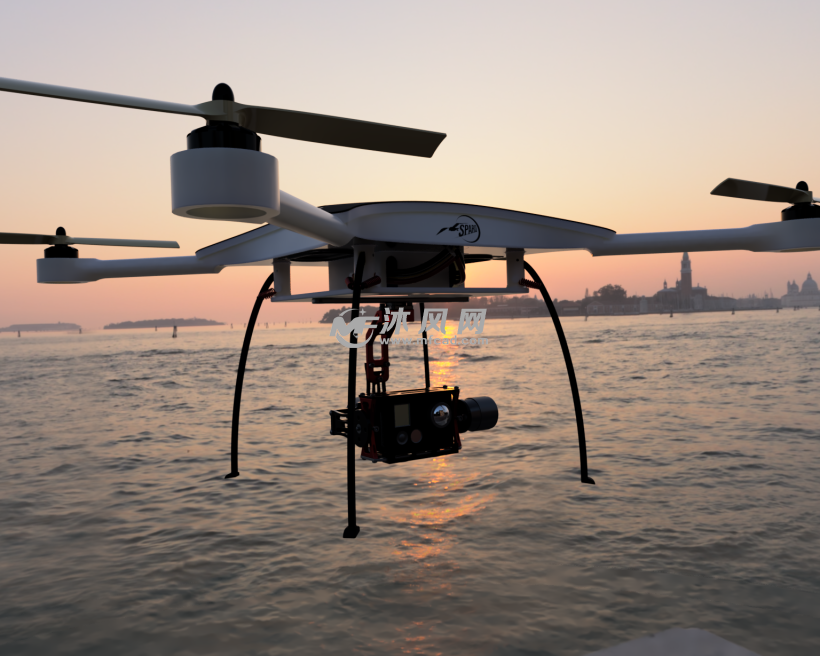 How to adjust shooting parameters during drone shooting to obtain high-quality images?
 What are the industry standard requirements for operation specifications in the field of drone application?