


What are the stitching and processing methods of UAV remote sensing images, the steps to generate a complete map?
The stitching and processing methods of UAV remote sensing images, the steps to generate a complete map is a complex but very important process, which plays an irreplaceable role in many fields such as the construction of geographic information systems, environmental monitoring, urban planning, disaster assessment, etc. This article will introduce the key steps in this process in detail.
1. Data Collection and Preprocessing
The collection of UAV remote sensing image data is the starting point of the entire process. The data usually includes different types of images such as multispectral, hyperspectral, or synthetic aperture radar, covering a wide range from visible light to microwave bands. After collection, preliminary processing of the images is required, including cloud removal, shadows, and other interference factors, to ensure the quality of subsequent processing.
2. Image Stitching
Image stitching is the process of stitching multiple images taken by UAVs into a continuous image, which is crucial for generating high-precision maps. Common stitching methods include:
Automatic stitching software: Using professional image processing software (such as Pix4Dmapper, DroneDeploy, etc.), these software can automatically identify overlapping areas between images and optimize the stitching effect through algorithms.
Manual stitching: When the automatic stitching effect is not good, manual stitching can be adopted. This requires careful inspection and adjustment of the images to ensure that the stitched images do not have obvious misalignment or distortion.
3. Image Registration
Image registration is the process of aligning the stitched images with the reference images, which is crucial for subsequent precise analysis. By using techniques such as image distortion correction and bundle adjustment, precise alignment between images can be achieved.
4. Feature Extraction and Matching
After completing image stitching and registration, feature points or feature lines need to be extracted from the images, which are the basis for subsequent image matching and texture analysis. Common feature extraction methods include SIFT, SURF, etc.
5. Image Fusion and Enhancement
After extracting feature points, image fusion and enhancement processing need to be performed on the images to improve image quality and detail resolution. This step includes image enhancement, multi-scale analysis, etc., to ensure that the final generated map has high clarity and rich texture information.
6. Map Generation and Analysis
After completing the above steps, high-quality image data generated can be used to create maps. This step may include using geographic information system (GIS) software (such as ArcGIS, QGIS, etc.) to analyze and visualize data. By overlaying different types of remote sensing data, comprehensive maps can be generated for various applications.
Conclusion
The stitching and processing of unmanned aerial vehicle (UAV) remote sensing images is a technically demanding and complex process, but through scientific methods and technical means, various challenges can be effectively overcome, ultimately generating high-quality complete maps. With the continuous advancement of technology, the application of UAV remote sensing technology in geographic information acquisition and analysis will become more extensive and in-depth in the future.
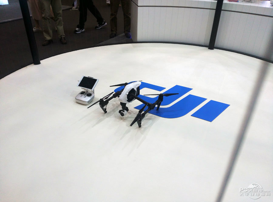 What are the teaching contents to cultivate emergency response capabilities in drone training?
 What are the key technical points of weapon carriage and firing for drones in military strike missions?
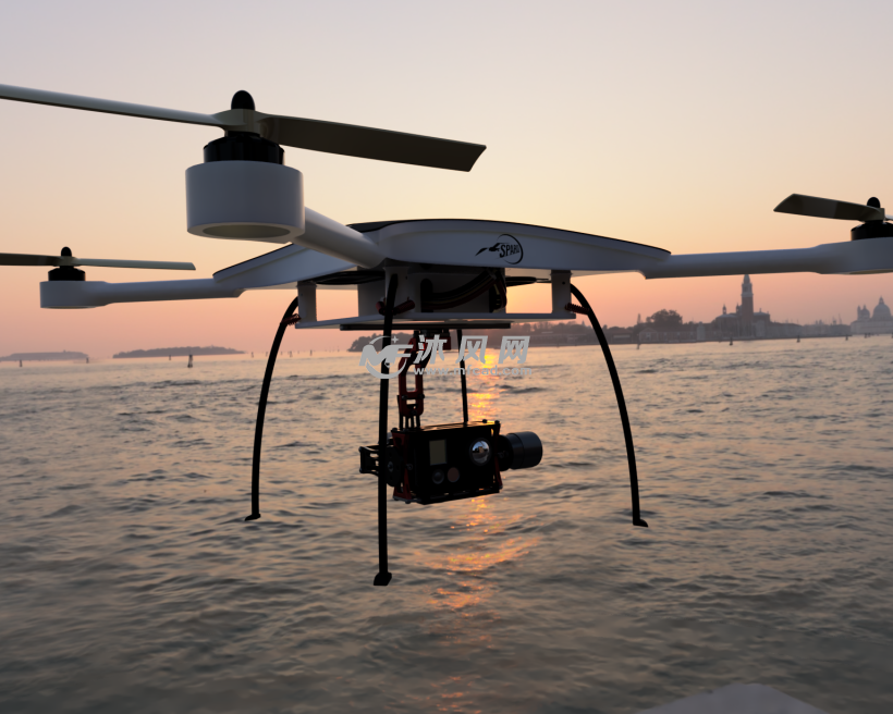 How to adjust shooting parameters during drone shooting to obtain high-quality images?
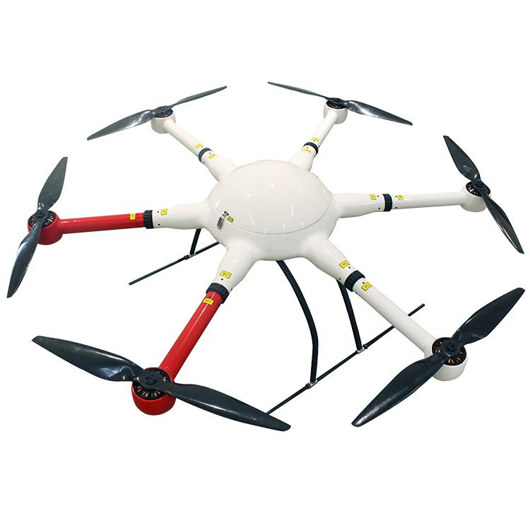 What are the industry standard requirements for operation specifications in the field of drone application?