


How to discover hidden hazards in the application of unmanned aerial vehicle remote sensing in geological disaster monitoring?
How to discover hidden hazards in the application of unmanned aerial vehicle remote sensing in geological disaster monitoring?
Geological disaster monitoring is an important link in preventing natural disasters and ensuring the safety of people's lives and property. In recent years, with the rapid development of unmanned aerial vehicle remote sensing technology, its application in geological disaster monitoring has become increasingly widespread, providing strong technical support for the early detection and early warning of geological disasters. This article will delve into the application of unmanned aerial vehicle remote sensing in geological disaster monitoring and how to use it to discover hidden hazards.
Part one: Overview of unmanned aerial vehicle remote sensing technology
Unmanned aerial vehicle remote sensing technology refers to the use of high-resolution sensors carried by unmanned aerial vehicles to obtain land surface images and data through aerial flight, realizing comprehensive and high-precision monitoring of ground targets. The sensors carried by unmanned aerial vehicles include visible light cameras, multispectral cameras, and infrared cameras, which can obtain high-resolution image data and high-precision three-dimensional terrain models, providing strong data support for geological disaster monitoring.
Part two: Application of unmanned aerial vehicle remote sensing in geological disaster monitoring
Forest fire monitoring
Forest fires are one of the common geological disasters, and unmanned aerial vehicle remote sensing technology has played an important role in forest fire monitoring. Unmanned aerial vehicles can quickly obtain high-resolution images of the surrounding fire scene, providing accurate data support for rapid response and extinguishing of the fire. Image data obtained through unmanned aerial vehicles can monitor the spread of the fire in real time, providing timely and accurate information for decision-makers.
Identification of geological disaster hazards
The application of unmanned aerial vehicle remote sensing technology in the identification of geological disaster hazards is mainly reflected in the identification of geological disaster hazards such as landslides and mudslides. High-resolution sensors carried by unmanned aerial vehicles can obtain high-precision three-dimensional terrain models of the land surface, detect changes in the land surface shape by comparing image data at different time points, and identify geological disaster hazards. In addition, unmanned aerial vehicles can also obtain high-resolution image data of the land surface, identify abnormal conditions such as land surface cracks and landslides through image processing technology, and provide technical support for the early detection and early warning of geological disasters.
Geological disaster monitoring and early warning
The application of unmanned aerial vehicle remote sensing technology in geological disaster monitoring and early warning is mainly reflected in the real-time monitoring of geological disasters such as landslides and mudslides. High-resolution image data obtained through unmanned aerial vehicles can monitor the dynamic changes of the land surface in real time and promptly detect potential geological disaster hazards. In addition, unmanned aerial vehicles can also obtain high-resolution image data of the land surface, identify abnormal conditions such as land surface cracks and landslides through image processing technology, and provide technical support for the early detection and early warning of geological disasters. In geological disaster monitoring and early warning, unmanned aerial vehicles can also obtain high-resolution image data of the land surface, identify abnormal conditions such as land surface cracks and landslides through image processing technology, and provide technical support for the early detection and early warning of geological disasters.
Conclusion
The application of unmanned aerial vehicle remote sensing technology in geological disaster monitoring provides strong technical support for the early detection and early warning of geological disasters. High-resolution image data obtained through unmanned aerial vehicles can monitor the dynamic changes of the land surface in real time and promptly detect potential geological disaster hazards. In addition, unmanned aerial vehicles can also obtain high-resolution image data of the land surface, identify abnormal conditions such as land surface cracks and landslides through image processing technology, and provide technical support for the early detection and early warning of geological disasters. In the future, with the further development and application of unmanned aerial vehicle remote sensing technology, its role in geological disaster monitoring will become more significant, providing stronger technical support for ensuring people's lives and property safety.
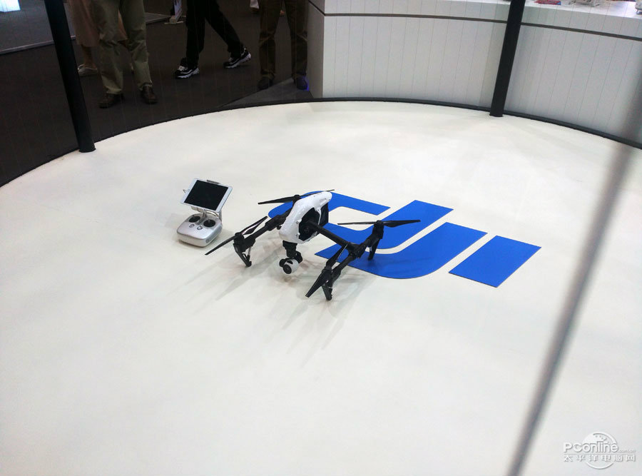 What are the teaching contents to cultivate emergency response capabilities in drone training?
 What are the key technical points of weapon carriage and firing for drones in military strike missions?
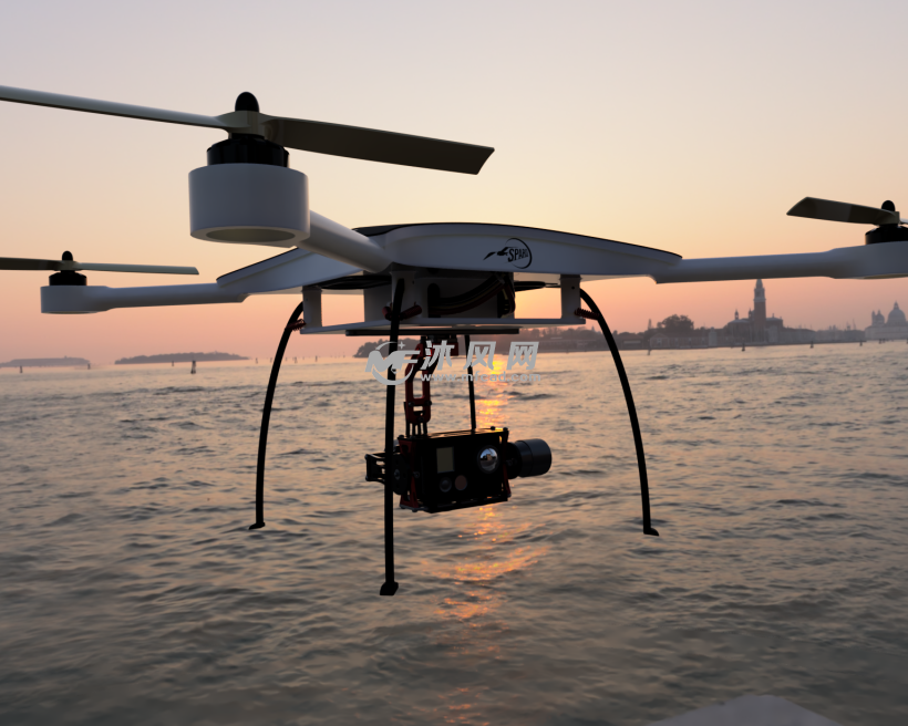 How to adjust shooting parameters during drone shooting to obtain high-quality images?
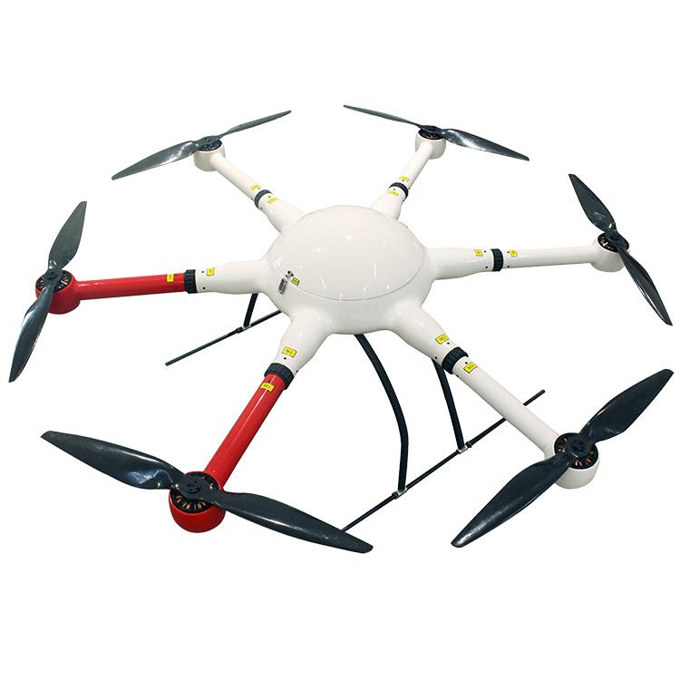 What are the industry standard requirements for operation specifications in the field of drone application?