


Enable drones to have intelligent surveying and mapping functions, and improve the means of geographic information collection accuracy?
Enable drones to have intelligent surveying and mapping functions, and improve the means of geographic information collection accuracy
With the rapid development of drone technology, the application of drones in the field of geographic information collection is becoming more and more extensive. Drones have advantages such as mobility, rapid response, and efficient operation, able to complete geographic information collection tasks quickly. However, due to various factors such as environmental conditions, flight status, and data processing capabilities during the geographic information collection process, the accuracy of geographic information collection is not high. Therefore, how to enable drones to have intelligent surveying functions and improve the accuracy of geographic information collection has become an important research topic in the field of drone applications.
Firstly, during the flight process, drones must have environmental perception capabilities, able to obtain real-time flight environment information such as terrain and meteorological conditions. By carrying sensors such as LiDAR, high-precision GPS, and infrared, drones can obtain real-time flight environment information, and combine it with environmental perception algorithms to model the flight environment in real-time, providing precise data support for subsequent geographic information collection. In addition, drones should also have obstacle avoidance capabilities, able to sense obstacles on the flight path in time and take avoidance measures to ensure flight safety.
Secondly, during the flight process, drones must have intelligent planning capabilities, able to optimize flight paths and attitudes according to the requirements of geographic information collection tasks, and improve the accuracy of geographic information collection. Drones can plan the optimal flight path based on factors such as terrain and meteorological conditions using path planning algorithms, reducing obstacles encountered during the flight process, and improving the accuracy of geographic information collection. At the same time, drones can adjust flight attitudes based on flight status, such as flight speed and altitude, to ensure the stability of geographic information collection.
Moreover, during the flight process, drones must have data processing capabilities, able to process and analyze the collected geographic information data in real-time, and improve the accuracy of geographic information collection. Drones can process the collected geographic information data through data processing algorithms, such as denoising, filtering, and registration, to improve the quality of geographic information data. In addition, drones can also integrate multi-source geographic information data through data fusion algorithms, to improve the accuracy of geographic information data.
Finally, during the flight process, drones must have intelligent decision-making capabilities, able to adjust flight tasks in real-time according to the requirements of geographic information collection tasks, and improve the accuracy of geographic information collection. Drones can adjust flight tasks in real-time, such as adjusting flight speed, altitude, and attitude, by using intelligent decision-making algorithms, based on the requirements of geographic information collection tasks, to improve the accuracy of geographic information collection. In addition, drones can also adjust flight paths in real-time according to the requirements of geographic information collection tasks using intelligent decision-making algorithms, to improve the accuracy of geographic information collection.
In general, to enable drones to have intelligent surveying functions and improve the accuracy of geographic information collection, research and optimization are required in aspects such as environmental perception, intelligent planning, data processing, and intelligent decision-making. The intelligent surveying function of drones will help improve the accuracy of geographic information collection, providing more accurate and comprehensive data support for geographic information applications.
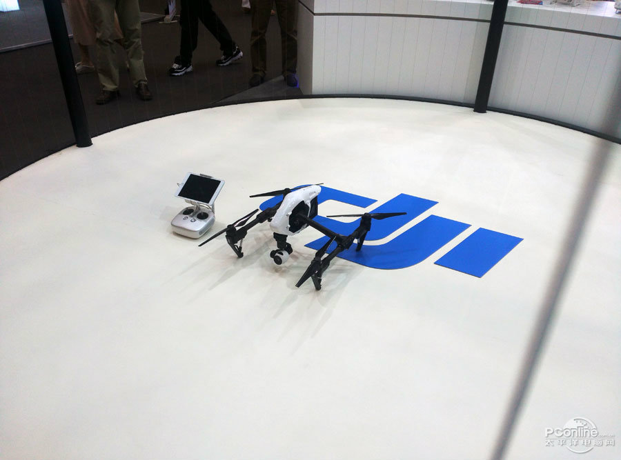 What are the teaching contents to cultivate emergency response capabilities in drone training?
 What are the key technical points of weapon carriage and firing for drones in military strike missions?
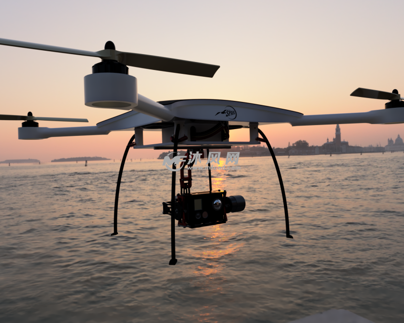 How to adjust shooting parameters during drone shooting to obtain high-quality images?
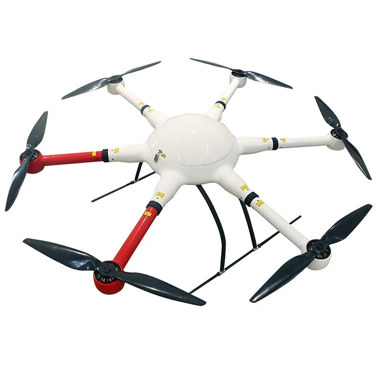 What are the industry standard requirements for operation specifications in the field of drone application?