


What is the impact of the update frequency of the drone navigation system on flight accuracy and safety?
The update frequency of the navigation system of drones has a significant impact on flight accuracy and safety. When drones are performing tasks, their flight path and attitude need to be precisely controlled to ensure the successful completion of the task and to ensure the safety of the operators and the surrounding environment. Therefore, the performance and update frequency of the navigation system are key factors in the design and operation of drones. This article will discuss the impact of the update frequency of the drone navigation system on flight accuracy and safety.
Overview of the unmanned aerial vehicle navigation system
The unmanned aerial vehicle navigation system mainly includes the Inertial Measurement Unit (IMU), Global Positioning System (GPS), and visual navigation system, among others. These systems work together to provide the unmanned aerial vehicle with accurate heading, speed, and altitude information to ensure its flight along the planned path.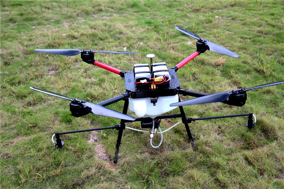
Impact of update frequency on flight accuracy
IMU update frequency: The Inertial Measurement Unit is a core part of the unmanned aerial vehicle navigation system, which determines the attitude and speed of the unmanned aerial vehicle by measuring acceleration and angular velocity. The higher the update frequency, the more accurate the data provided by the IMU, which can respond more quickly to environmental changes, thereby improving flight accuracy. However, the IMU itself also has its physical limits, and an excessively high update frequency may cause sensor fatigue, even damage.
GPS update frequency: The Global Positioning System provides high-precision location information and is an important part of the unmanned aerial vehicle navigation system. The GPS update frequency directly affects the positioning accuracy of the unmanned aerial vehicle. In open areas, the update frequency of GPS can reach once per second, but in complex terrain or urban environments, due to signal obstructions, the update frequency of GPS may decrease. This may affect the flight accuracy of the unmanned aerial vehicle, causing the flight path to deviate from the planned route.
Visual navigation system update frequency: For some unmanned aerial vehicles that rely on visual navigation, the update frequency is also important. Visual sensors such as cameras and LiDAR need to quickly and accurately obtain environmental information to achieve autonomous obstacle avoidance and path planning. A low update frequency may cause the visual system to fail to respond in time to environmental changes, affecting flight safety.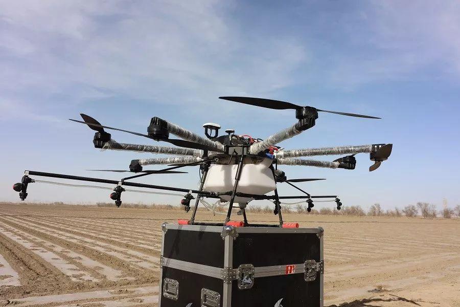
Impact of update frequency on flight safety
Deviation from flight path: When the update frequency of the navigation system is low, the unmanned aerial vehicle may not respond in time to environmental changes, leading to deviation from the planned flight path and increasing the risk of collisions or other accidents.
Mission execution failure: When executing complex tasks such as precise pesticide application or precision sowing, a low update frequency of the navigation system may cause the unmanned aerial vehicle to fail to accurately execute the task, affecting the completion rate and effectiveness of the mission.
Operator risk: A low update frequency of the navigation system makes it difficult to grasp the flight status of the unmanned aerial vehicle in real time, increasing the difficulty of operator judgment and potentially leading to operational errors, thereby increasing the risk to the operator.
Conclusion
The update frequency of the unmanned aerial vehicle navigation system is crucial for its flight accuracy and safety. Although a high update frequency can provide more accurate data, it also brings challenges to the lifespan and power consumption of sensors. Therefore, unmanned aerial vehicle manufacturers need to reasonably choose the update frequency of the navigation system according to specific application scenarios and environmental conditions to achieve the best flight accuracy and safety. In the future, with the development of technology, unmanned aerial vehicle navigation systems will become more intelligent and adaptive to meet the flight challenges in various complex environments.
 What are the teaching contents to cultivate emergency response capabilities in drone training?
 What are the key technical points of weapon carriage and firing for drones in military strike missions?
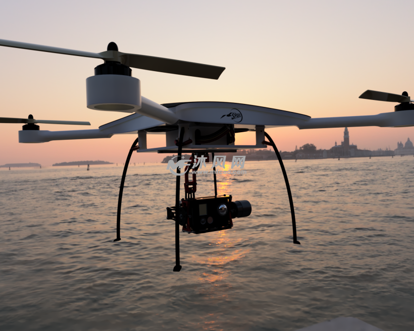 How to adjust shooting parameters during drone shooting to obtain high-quality images?
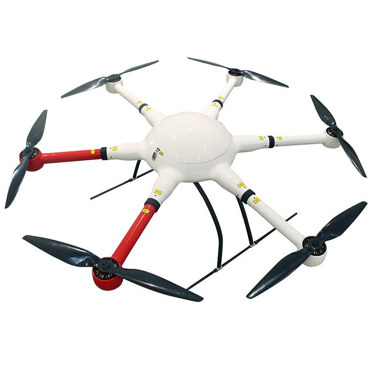 What are the industry standard requirements for operation specifications in the field of drone application?